

LAS VEGAS (KLAS) – As triple-digit temperatures begin to decrease for the second half of the week, a flood watch in effect for the Las Vegas valley wrapped up Thursday night. However, chances for more rainfall are expected by Friday.
The chances for storms that could bring flash flooding include the Las Vegas valley, Lincoln County, and Mohave County through 11 p.m.
Rain, flooding cause closure near I-15, Primm
Advertisement
Advertisement
A few pop-up showers were seen west of Mountain’s Edge and near Mt. Charleston around 4 p.m. The northwest and east valley saw the most rainfall in the Las Vegas area.
Over one inch of rain fell near Primm Thursday night, according to 8 News Now Meteorologist Tedd Florendo.
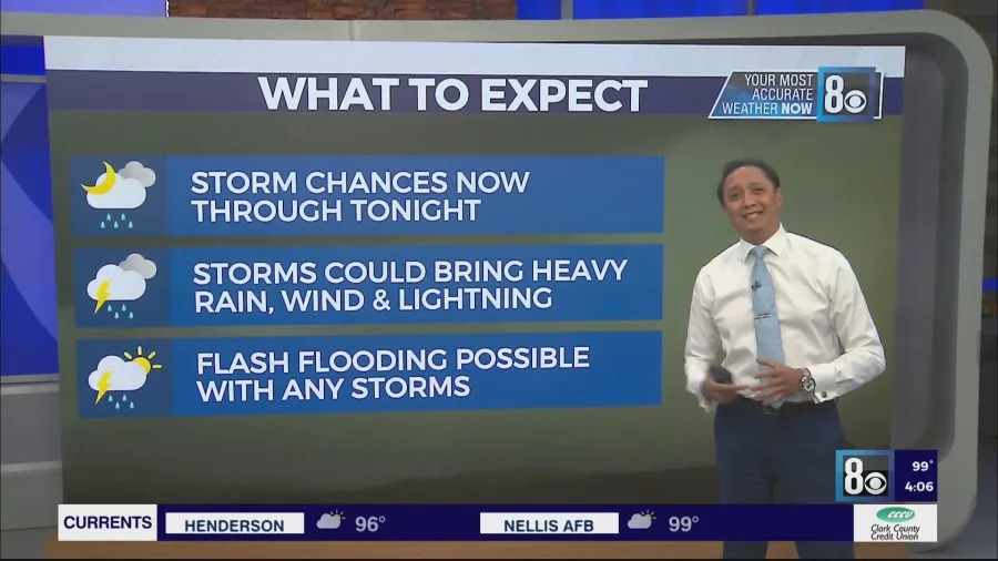
“With any of these storm chances, flooding is possible, because it could bring heavy rain along with the wind and, of course, vivid lightning,” 8 News Now Tedd Florendo said.
RTC of Southern Nevada reported flooding around 5 p.m. along the I-15 northbound on-ramp and off-ramp near Primm, causing a full closure in the area.
Flash Flood Warning for Primm and I-15 near Stateline until 8 p.m. due to flooding from over an inch of rain in 20 minutes. Portions of I-15 remain closed shortly after 5:30 p.m.
Advertisement
Advertisement
A Flood Advisory for Primm, Jean, and Mountain Pass until 7:45 p.m. due to minor flooding in low-lying areas.
Flood Watch for Clark, Lincoln, and Mohave County until 11 p.m. due to the threat of flash flooding from any thunderstorms.
There are still more chances of severe storms and rainfall throughout the Las Vegas valley for Friday.
Copyright 2025 Nexstar Media, Inc. All rights reserved. This material may not be published, broadcast, rewritten, or redistributed.
For the latest news, weather, sports, and streaming video, head to KLAS.